The Goatfell Summit Challenge in Arran
Author
Author, writer, artist, photographer, analyst, dreamer, geek, gamer. As a freelance writer and blogger for Outdoor Look, Pete writes about the outdoors and why you should be in it. In the time that is left over from camping, running, hiking, cycling, writing novels and being a full time analyst, Pete sometimes mows the lawn, when he's ordered by Mrs Gillham!
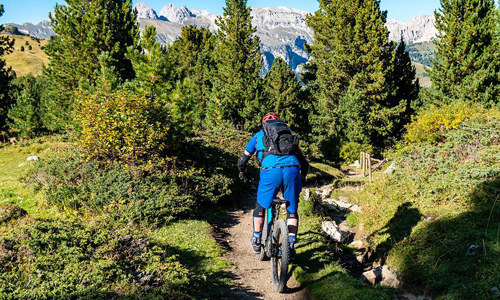
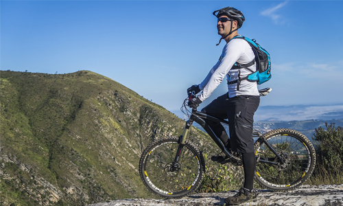
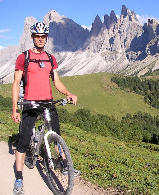
The famous Arran Challenge is adventurous and thrilling with activities like biking and running to the summit of the Isle of Arran, the Goatfell which is the highest mountain there.
Everything to know about the challenge
A ferry takes 55 minutes to traverse through mainland Scotland to the Goatfell Mountain. The time taken by the ferry for every return journey from the island’s port of Brodick to the town of Ardrossan is about 3 hours and 15 minutes. This time window allows you to engage in an amusing activity of biking or running to the peak and be back just in time for the next ferry. The path is about 2.5 miles from Brodick to the southern path of the Goatfell mountain. The summit is at a height of 2867 ft. from sea level.
However, I had my reservations regarding the time as many websites over the internet say that walking on feet took about 4. 5 hours in summer. So, I presumed that running would cut the time short at least by half.
Attempting the Challenge
The day I chose to do this challenge the weather shifted from being cool and clear to warm and wet. This change of weather delayed the ferry by 15 minutes. I started pedalling towards the Cladach Visitor Centre and planned on running from there. The route, in the beginning, is gentle and offers a great running space.
I was lucky to witness the beautiful view of the Glen Rosa and was thankful for the tree cover that provided some solace in the hot weather. But as I ascended towards the summit, the air got wetter and it started to drizzle.
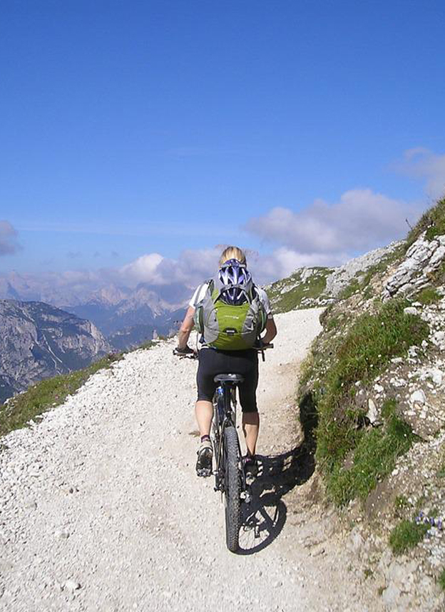
As I kept going forward in the dense cloud without any navigation tools, I kept my mind alert to the ground ahead to not lose track. The terrain gets rockier upward and with the dipping temperature, one has to stop for a quick layering of clothes. You will also come across muddy terrain, which adds to the difficulty level.
The main route heads directly towards the west surrounded by large boulders and numerous miniature summits. I grew anxious as I could see no sign of the main summit, but I kept going. The situation had changed more than I had planned and I knew I had to be quick because the journey back was going to be hard as well due to the prevailing weather conditions. I somehow reached the summit after 1 hour and 17 mins and without delay started on my return.
Bad Luck with a wrong turn
My haste led me to a very silly error that flipped the tables for me. On my way up, I had seen the way to the coastal village of Corrie but on my descent, I did not come across it. As I was coming back with great speed and zeal, feeling accomplished with my progress in this bad weather, I started to listen to my instincts which said that something wasn’t right.
The moment I stopped, I realised that instead of going south I was going towards the east reaching a gravel track that ended at A814 at Corrie. I took some time and did some mental math. The signs wrote that Brodick was 6 miles away which was a few miles from the place where I had left my bike and I only had 25 minutes left in hand to catch the ferry to return to the mainland.
I figured out an alternative path to the road, on a section of the Arran Coastal Way. The coastal path crossed with the southern section of the Goatfell. I figured the run would be quicker that way. I hopped onto the track and reached the point where I had left my bike.
I unlocked it and started paddling as fast as I could. Finally, after all that I had gone through, hope surged through my heart at the sight of the ferry that was also late because of the weather and I hopped into it happily, completing the Goatfell Challenge.
Author
Author, writer, artist, photographer, analyst, dreamer, geek, gamer. As a freelance writer and blogger for Outdoor Look, Pete writes about the outdoors and why you should be in it. In the time that is left over from camping, running, hiking, cycling, writing novels and being a full time analyst, Pete sometimes mows the lawn, when he's ordered by Mrs Gillham!
Categories
- Sport (28)
- Product Reviews (3)
- Team Outdoor Look (7)
- Mike Wild (2)
- Mike Payton (2)
- Suse Hammond-Pears (3)
- Snowboarding (12)
- Latest Offers (105)
- Shop Talk (1)
- Competitions (7)
- Walking (413)
- Lifestyle Fashion (8)
- Travel (86)
- Kit Guides (176)
- Workwear Clothing (6)
- Safety Workwear (4)
- Health/Fitness (289)
- Skiing (91)
- Great Outdoors (1316)
- Cycling (92)
- January 2025
- December 2024
- November 2024
- October 2024
- September 2024
- August 2024
- July 2024
- June 2024
- May 2024
- April 2024
- March 2024
- February 2024
- January 2024
- December 2023
- November 2023
- October 2023
- September 2023
- August 2023
- July 2023
- June 2023
- May 2023
- April 2023
- March 2023
- February 2023
- January 2023
- December 2022
- November 2022
- October 2022
- September 2022
- August 2022
- July 2022
- June 2022
- May 2022
- April 2022
- March 2022
- February 2022
- January 2022
- December 2021
- November 2021
- October 2021
- September 2021
- August 2021
- July 2021
- June 2021
- May 2021
- April 2021
- March 2021
- February 2021
- January 2021
- December 2020
- November 2020
- October 2020
- September 2020
- August 2020
- July 2020
- June 2020
- May 2020
- April 2020
- March 2020
- February 2020
- January 2020
- December 2019
- November 2019
- October 2019
- September 2019
- August 2019
- July 2019
- June 2019
- May 2019
- April 2019
- March 2019
- February 2019
- January 2019
- December 2018
- November 2018
- October 2018
- September 2018
- August 2018
- July 2018
- June 2018
- May 2018
- April 2018
- March 2018
- February 2018
- January 2018
- December 2017
- November 2017
- October 2017
- September 2017
- August 2017
- July 2017
- June 2017
- May 2017
- April 2017
- March 2017
- February 2017
- January 2017
- December 2016
- November 2016
- October 2016
- September 2016
- August 2016
- July 2016
- June 2016
- May 2016
- April 2016
- March 2016
- February 2016
- January 2016
- December 2015
- November 2015
- October 2015
- September 2015
- August 2015
- July 2015
- June 2015
- May 2015
- April 2015
- March 2015
- February 2015
- January 2015
- December 2014
- November 2014
- October 2014
- September 2014
- August 2014
- July 2014
- June 2014
- May 2014
- April 2014
- March 2014
- February 2014
- January 2014
- December 2013
- November 2013
- October 2013
- September 2013
- August 2013
- July 2013
- June 2013
- May 2013
- April 2013
- March 2013
- February 2013
- January 2013
- December 2012
- November 2012
- October 2012
- September 2012
- August 2012
- July 2012
- June 2012
- May 2012
- April 2012
- March 2012
- February 2012
- January 2012
- December 2011
- November 2011
- October 2011
- September 2011
- August 2011
- May 2010
- April 2010
- March 2010
- February 2010
- January 2010
- November 2009
- October 2009
- September 2009
Submit a Comment