Step-by-Step Guide to Measure Distance on a Map
Author
Chris shares his passion for cycling, hiking, skiing, and climbing from Buxton, in the Peak District. As a blogger for Outdoor Look, Chris shares outdoor tips and indoor tricks to help you get the most out of your time spent outside. When he's not out adventuring he's making videos or trying to keep up with his 4-year-old son.
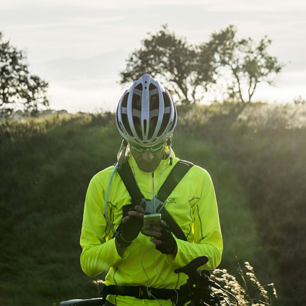
 Are you planning a hiking, camping, or biking trip? If so, make sure you know how to measure distance on a map. If you’re new to map reading, understanding all those symbols and curvy paths on a map can be a little daunting for you. It may look confusing and not being able to figure out which path is directed to which place can totally make or break your excursion. Don’t worry, reading a map is not as tough as it seems to be; it’s quite easy!
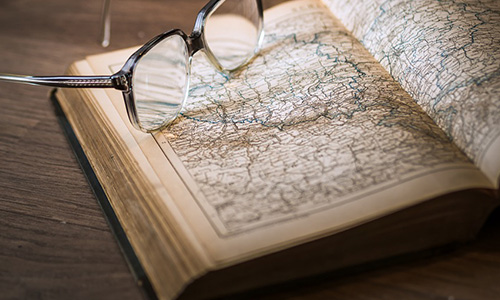
Choose the Right Map
There are many distinct types of map such as topographic maps, atlases, weather charts, etc. You’ve to check that the map you’re using is ideal for the trip you’re planning.
If you are planning a running, cycling, or walking trip, it is suggested to use a map with many details that does not show much more area than you want to explore. Opt for a road atlas with fewer markings, but giving more information of the road numbers and names etc.
Scale Identification
Identifying the scale on a map will let you know whether the map you’ve chosen is the right one or not. Scale tells you the link between a distance on the land and its graphic equivalent on a map. Here are different types of scales:
- A Graphic Scale
Generally, the scale is written at the bottom of a map or in the information box called legend.
- A Representative Fraction
If your map comes with a cover, check its front for the scale in the ratio format. In some maps, it is found next to the graphic scale. For example: if the scale is mentioned as 1:25 000, then it indicates that every 1cm on the map equals to 0.25km on the ground.
- A Word Statement
A word statement is less common than representative fraction or graphic scale, but it is equally helpful and comparatively less complicated to understand the route.
Measuring Distance on a Map
Now that you know about different scales on a map, it’s time to measure the distance on a map. You can do so by using a ruler or a string.
- Using a Ruler
If the path you want to measure is straight, you’ve to take a ruler and note the distance from A to B in centimetres.
- Using a Piece of String
If the route is curvy with many changes in the direction, then take a piece of string. Carefully trace the route with the string and make the markings on it as you go, if required.
Calculating the Actual Distance of the Path
Once you know the distance in centimetres, you need to see your scale and convert it into kilometres or miles.
For instance: If the scale is 1:100 000 and the path measures 5cm on a map, then the route is 5km long.
As an option, you can lay a ruler or the string adjacent to the graphic scale to find out the actual distance.
Follow these steps to measure distance on a map on your next outdoor excursion.
Author
Chris shares his passion for cycling, hiking, skiing, and climbing from Buxton, in the Peak District. As a blogger for Outdoor Look, Chris shares outdoor tips and indoor tricks to help you get the most out of your time spent outside. When he's not out adventuring he's making videos or trying to keep up with his 4-year-old son.
- Speed Up Your Post-Hike Recovery with These 6 Essential Tips
- Cycling through Tranquil Roads and Coastal Views on the Isle of Wight
- The Essential Guide to Hiking Safety: 5 Tips Every Hiker Should Know
- Run Smart, Run Strong: Your Guide to Injury-Free Running
- Embrace Biking: Essential Tips for Beginners
Categories
- Sport (28)
- Product Reviews (3)
- Team Outdoor Look (7)
- Mike Wild (2)
- Mike Payton (2)
- Suse Hammond-Pears (3)
- Snowboarding (12)
- Latest Offers (105)
- Shop Talk (1)
- Competitions (7)
- Walking (413)
- Lifestyle Fashion (8)
- Travel (86)
- Kit Guides (176)
- Workwear Clothing (6)
- Safety Workwear (4)
- Health/Fitness (289)
- Skiing (91)
- Great Outdoors (1316)
- Cycling (92)
- January 2025
- December 2024
- November 2024
- October 2024
- September 2024
- August 2024
- July 2024
- June 2024
- May 2024
- April 2024
- March 2024
- February 2024
- January 2024
- December 2023
- November 2023
- October 2023
- September 2023
- August 2023
- July 2023
- June 2023
- May 2023
- April 2023
- March 2023
- February 2023
- January 2023
- December 2022
- November 2022
- October 2022
- September 2022
- August 2022
- July 2022
- June 2022
- May 2022
- April 2022
- March 2022
- February 2022
- January 2022
- December 2021
- November 2021
- October 2021
- September 2021
- August 2021
- July 2021
- June 2021
- May 2021
- April 2021
- March 2021
- February 2021
- January 2021
- December 2020
- November 2020
- October 2020
- September 2020
- August 2020
- July 2020
- June 2020
- May 2020
- April 2020
- March 2020
- February 2020
- January 2020
- December 2019
- November 2019
- October 2019
- September 2019
- August 2019
- July 2019
- June 2019
- May 2019
- April 2019
- March 2019
- February 2019
- January 2019
- December 2018
- November 2018
- October 2018
- September 2018
- August 2018
- July 2018
- June 2018
- May 2018
- April 2018
- March 2018
- February 2018
- January 2018
- December 2017
- November 2017
- October 2017
- September 2017
- August 2017
- July 2017
- June 2017
- May 2017
- April 2017
- March 2017
- February 2017
- January 2017
- December 2016
- November 2016
- October 2016
- September 2016
- August 2016
- July 2016
- June 2016
- May 2016
- April 2016
- March 2016
- February 2016
- January 2016
- December 2015
- November 2015
- October 2015
- September 2015
- August 2015
- July 2015
- June 2015
- May 2015
- April 2015
- March 2015
- February 2015
- January 2015
- December 2014
- November 2014
- October 2014
- September 2014
- August 2014
- July 2014
- June 2014
- May 2014
- April 2014
- March 2014
- February 2014
- January 2014
- December 2013
- November 2013
- October 2013
- September 2013
- August 2013
- July 2013
- June 2013
- May 2013
- April 2013
- March 2013
- February 2013
- January 2013
- December 2012
- November 2012
- October 2012
- September 2012
- August 2012
- July 2012
- June 2012
- May 2012
- April 2012
- March 2012
- February 2012
- January 2012
- December 2011
- November 2011
- October 2011
- September 2011
- August 2011
- May 2010
- April 2010
- March 2010
- February 2010
- January 2010
- November 2009
- October 2009
- September 2009
Submit a Comment