Local Runs and Walks Near Glasgow
Author
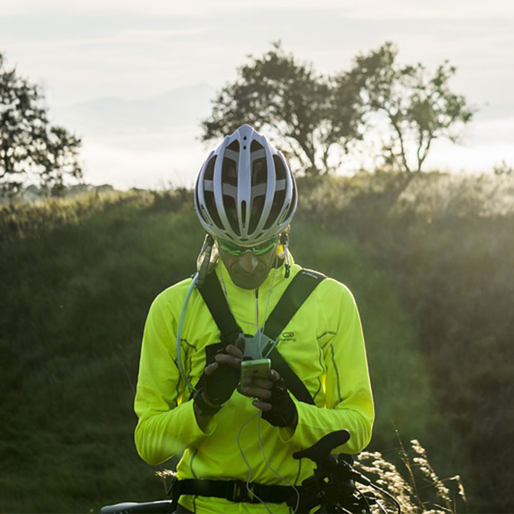
Chris shares his passion for cycling, hiking, skiing, and climbing from Buxton, in the Peak District. As a blogger for Outdoor Look, Chris shares outdoor tips and indoor tricks to help you get the most out of your time spent outside. When he's not out adventuring he's making videos or trying to keep up with his 4-year-old son.
I have previously written about some of my favourite walks which are close to Glasgow. There are routes nearby Glasgow, which are good for runners as well. These routes can be easily accessed and explored, giving you the best of hiking and running as an outdoor activity.

Here are some more local runs and walks near Glasgow which you can explore:
Slackdhu and Dumbreak Hill, Campsie Fells
Starting from Strathblane, this trail goes through some lesser known hills. It is commonly known as “Back, Slack and Crack” route.
The distance of this entire route is around 12 km/ 7.5 miles. The height gain is about 545m. It can be accessed through public transport, i.e. the X10 bus, which departs from Buchanan Bus Station, Glasgow.
There are many people who prefer to head to Dumgoyne and occasionally Earl’s Seat at the end of the Campsie fells, north of Glasgow. You can easily go out-and-back to Slackdhu or complete the whole circuit while visiting Dumbrek Hill.
You will meet the Strathkelvin Railway Path at the end, which travels west to east. The starting point will be regained by walking or running along the pavement on the main A81.
The Auld Wives Lifts, Craigmaddie Muir
An easy starting point from the Baldernock village, this place can be explored through cycling or walking. You can also lock up your bike at the start of the walk.
The Auld Wives Lifts include large boulders with a third boulder balanced on top. These boulders are located in a natural amphitheatre in a peat bog. A heritage site on Craigmaddie Muir, this route can be easy to finish by taking a complete circuit and a trig point with standing stones.
There are farm animals, and it is recommended to choose the safer route, which does not disturb the animals and the farm people.
The history behind the Auld Wild lifts can be known to be the early glacial deposits which left behind these enormous boulders. It is also believed in the folklore that the name derives from the story of ‘Modern Antiquarian’.
Auchineden Trig and the Whangie, Kilpatrick Hills
Many people walk from the Whangie, leading to the Queen’s View car park on the A809. However, there is another route which is usually quieter.
It has a distance of 8.7m/ 5.4 miles and a height gain of 280m. You can start at the Edenmill Farm shop car park and then follow the John Muir Way. Take help from the signposts and go back around the car park.
You can keep following the JMW signs up the Tarmac road and then, after moving through some difficult terrain, you can climb over the strange looking Whangie rock formation ahead. You can then successfully climb back to the trig point on Auchineden Hill. You can return down the same route that you came up.
Cort-ma Law & Lecket Hill, from Clachan of Campsie
With a distance of 10 km/6 miles and a height gain of 520m, this route can be accessed with the help of the Bus X85 which takes you within three-minute walk of the start.
Clachan of Campsie is a small-settlement where you can find a café. You can further go up the steep-sig-zagging path through trees. You have to cross a series of bumpy terrain around the Campsie fells. The higher point is Cort-ma Law, which takes you up to the neighbouring hill of Lecket. The Lecket hill view is superb with a descent route which heads towards the west to meet the Crow Road again.
There are many other routes which you can explore near Glasgow, which are mesmerising to look at. The start to these trails are easily accessible by public transport, and you can further explore up the mountains once you start hiking. Go solo or with your friends and family and enjoy the adventure.

Author
Chris shares his passion for cycling, hiking, skiing, and climbing from Buxton, in the Peak District. As a blogger for Outdoor Look, Chris shares outdoor tips and indoor tricks to help you get the most out of your time spent outside. When he's not out adventuring he's making videos or trying to keep up with his 4-year-old son.
- Speed Up Your Post-Hike Recovery with These 6 Essential Tips
- Cycling through Tranquil Roads and Coastal Views on the Isle of Wight
- The Essential Guide to Hiking Safety: 5 Tips Every Hiker Should Know
- Run Smart, Run Strong: Your Guide to Injury-Free Running
- Embrace Biking: Essential Tips for Beginners
Categories
- Sport (28)
- Product Reviews (3)
- Team Outdoor Look (7)
- Mike Wild (2)
- Mike Payton (2)
- Suse Hammond-Pears (3)
- Snowboarding (12)
- Latest Offers (105)
- Shop Talk (1)
- Competitions (7)
- Walking (413)
- Lifestyle Fashion (8)
- Travel (86)
- Kit Guides (176)
- Workwear Clothing (6)
- Safety Workwear (4)
- Health/Fitness (289)
- Skiing (91)
- Great Outdoors (1316)
- Cycling (92)
- January 2025
- December 2024
- November 2024
- October 2024
- September 2024
- August 2024
- July 2024
- June 2024
- May 2024
- April 2024
- March 2024
- February 2024
- January 2024
- December 2023
- November 2023
- October 2023
- September 2023
- August 2023
- July 2023
- June 2023
- May 2023
- April 2023
- March 2023
- February 2023
- January 2023
- December 2022
- November 2022
- October 2022
- September 2022
- August 2022
- July 2022
- June 2022
- May 2022
- April 2022
- March 2022
- February 2022
- January 2022
- December 2021
- November 2021
- October 2021
- September 2021
- August 2021
- July 2021
- June 2021
- May 2021
- April 2021
- March 2021
- February 2021
- January 2021
- December 2020
- November 2020
- October 2020
- September 2020
- August 2020
- July 2020
- June 2020
- May 2020
- April 2020
- March 2020
- February 2020
- January 2020
- December 2019
- November 2019
- October 2019
- September 2019
- August 2019
- July 2019
- June 2019
- May 2019
- April 2019
- March 2019
- February 2019
- January 2019
- December 2018
- November 2018
- October 2018
- September 2018
- August 2018
- July 2018
- June 2018
- May 2018
- April 2018
- March 2018
- February 2018
- January 2018
- December 2017
- November 2017
- October 2017
- September 2017
- August 2017
- July 2017
- June 2017
- May 2017
- April 2017
- March 2017
- February 2017
- January 2017
- December 2016
- November 2016
- October 2016
- September 2016
- August 2016
- July 2016
- June 2016
- May 2016
- April 2016
- March 2016
- February 2016
- January 2016
- December 2015
- November 2015
- October 2015
- September 2015
- August 2015
- July 2015
- June 2015
- May 2015
- April 2015
- March 2015
- February 2015
- January 2015
- December 2014
- November 2014
- October 2014
- September 2014
- August 2014
- July 2014
- June 2014
- May 2014
- April 2014
- March 2014
- February 2014
- January 2014
- December 2013
- November 2013
- October 2013
- September 2013
- August 2013
- July 2013
- June 2013
- May 2013
- April 2013
- March 2013
- February 2013
- January 2013
- December 2012
- November 2012
- October 2012
- September 2012
- August 2012
- July 2012
- June 2012
- May 2012
- April 2012
- March 2012
- February 2012
- January 2012
- December 2011
- November 2011
- October 2011
- September 2011
- August 2011
- May 2010
- April 2010
- March 2010
- February 2010
- January 2010
- November 2009
- October 2009
- September 2009
Submit a Comment