Cycling Through the Moray Way
Author
Chris shares his passion for cycling, hiking, skiing, and climbing from Buxton, in the Peak District. As a blogger for Outdoor Look, Chris shares outdoor tips and indoor tricks to help you get the most out of your time spent outside. When he's not out adventuring he's making videos or trying to keep up with his 4-year-old son.
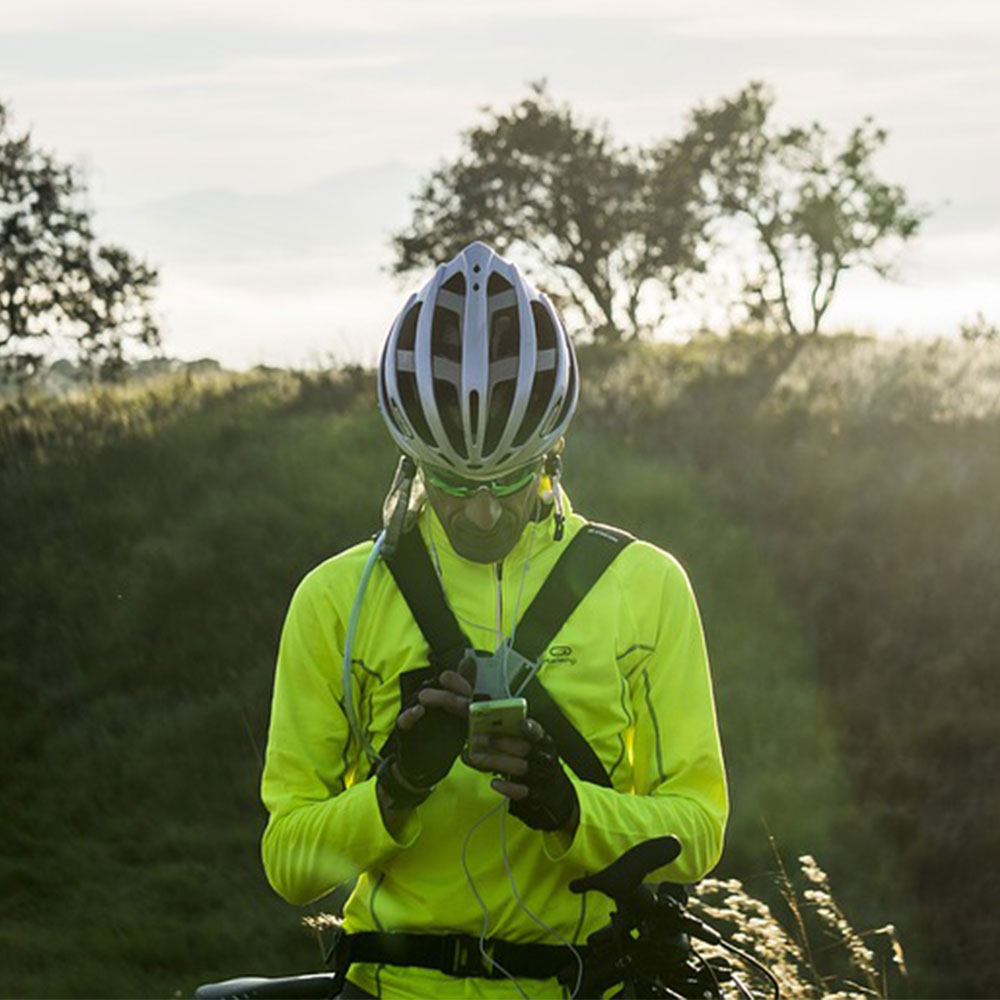
Scotland provides a great opportunity for cyclists to ride along its beautiful scenic long-distance paths. The Moray way is one such circular path that connects the Moray Coast Trail, Speyside Way and Dava way, making it a 95-mile route that takes about two days to go around.
Some Genereic Details about Morway
Distance from Moray Coast Trail: Kingston to Forres- 30 miles
Distance from Dava Way: Forres to Grantown- 24 miles
Distance from Speyside Way: Grantown to Kingston- 41 miles
Terrain: The way has a mixed terrain filled with forest tracks, old railway track-beds, grassy paths as well as sandy path and small B-roads
Ascent: Approximately 2788ft or 850m
Maximum elevation: Approximately 1083ft or 330m
Experiences of Day 1
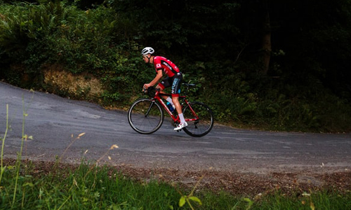
For our journey, we decided to start with the Grantown-on-Spey to Kingston and headed straight to the Speyside Way. As we started, we paddled straight down the narrow and enchanting forest path of Anagach pine woods while dodging a number of trees and rocks on our way. According to the Speyside Way website, it is advised that cyclists take the B9102 from Cromdale to Ballindalloch to protect the forest trails.
After passing through, we reached the railway line at the Blacksboat station as it was a flat way filled with distilleries and fishing huts along the river. This path is filled with the aroma of whiskey all around. The last section of the railway line headed to Craigellachie, which is a hill that heads straight into the Ben Aigan forest.
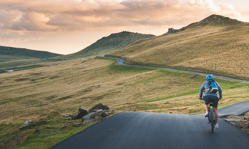
One would say that this is the highest point of the whole route, from where you could see the target you set for the day along with the scenic beauty around and the steep tracks and country lanes that would follow soon with the descent.
We made a stop in Fochaber for some refreshments and paddled along the path of Spey until we reached the bridge near the Spey Bay. From thereon, it was a gentle ride down to the camp spot at Kingston where we enjoyed the sunset and had dinner after a quick swim to rejuvenate ourselves.
Day 2 Experience
Day 2 shone up with the sun blazing bright and we left after breakfast at the beach and set off along the forest tracks near the shooting range that led us to join the B-road to Lossiemouth at Arthur Bridge. This road led us straight off to the old railway track line near the beach front with great toilet facilities, so we could take some rest. We had coffee and cakes before resuming our journey.
The next 5 miles to Hopeman on the B9040 were covered quite easily as we didn’t find any traffic on our way. The next section from Hopeman to Burghead follows another abandoned railway line with great coastal views. We followed the “Burma Road” forest track ahead of Burghead, but we had to push our bikes out of a small section filled with sand.
Following the path signs, we headed towards Forres next that led us back to Dava lane bringing us back to Grantown-on-Spey. Now all that was left for us to do after reaching the campsite was to enjoy the sunset and relax.
All in all, it was a great experience for us and very eventful.

Author
Chris shares his passion for cycling, hiking, skiing, and climbing from Buxton, in the Peak District. As a blogger for Outdoor Look, Chris shares outdoor tips and indoor tricks to help you get the most out of your time spent outside. When he's not out adventuring he's making videos or trying to keep up with his 4-year-old son.
- Speed Up Your Post-Hike Recovery with These 6 Essential Tips
- Cycling through Tranquil Roads and Coastal Views on the Isle of Wight
- The Essential Guide to Hiking Safety: 5 Tips Every Hiker Should Know
- Run Smart, Run Strong: Your Guide to Injury-Free Running
- Embrace Biking: Essential Tips for Beginners
Categories
- Sport (28)
- Product Reviews (3)
- Team Outdoor Look (7)
- Mike Wild (2)
- Mike Payton (2)
- Suse Hammond-Pears (3)
- Snowboarding (12)
- Latest Offers (105)
- Shop Talk (1)
- Competitions (7)
- Walking (413)
- Lifestyle Fashion (8)
- Travel (86)
- Kit Guides (176)
- Workwear Clothing (6)
- Safety Workwear (4)
- Health/Fitness (289)
- Skiing (91)
- Great Outdoors (1316)
- Cycling (92)
- January 2025
- December 2024
- November 2024
- October 2024
- September 2024
- August 2024
- July 2024
- June 2024
- May 2024
- April 2024
- March 2024
- February 2024
- January 2024
- December 2023
- November 2023
- October 2023
- September 2023
- August 2023
- July 2023
- June 2023
- May 2023
- April 2023
- March 2023
- February 2023
- January 2023
- December 2022
- November 2022
- October 2022
- September 2022
- August 2022
- July 2022
- June 2022
- May 2022
- April 2022
- March 2022
- February 2022
- January 2022
- December 2021
- November 2021
- October 2021
- September 2021
- August 2021
- July 2021
- June 2021
- May 2021
- April 2021
- March 2021
- February 2021
- January 2021
- December 2020
- November 2020
- October 2020
- September 2020
- August 2020
- July 2020
- June 2020
- May 2020
- April 2020
- March 2020
- February 2020
- January 2020
- December 2019
- November 2019
- October 2019
- September 2019
- August 2019
- July 2019
- June 2019
- May 2019
- April 2019
- March 2019
- February 2019
- January 2019
- December 2018
- November 2018
- October 2018
- September 2018
- August 2018
- July 2018
- June 2018
- May 2018
- April 2018
- March 2018
- February 2018
- January 2018
- December 2017
- November 2017
- October 2017
- September 2017
- August 2017
- July 2017
- June 2017
- May 2017
- April 2017
- March 2017
- February 2017
- January 2017
- December 2016
- November 2016
- October 2016
- September 2016
- August 2016
- July 2016
- June 2016
- May 2016
- April 2016
- March 2016
- February 2016
- January 2016
- December 2015
- November 2015
- October 2015
- September 2015
- August 2015
- July 2015
- June 2015
- May 2015
- April 2015
- March 2015
- February 2015
- January 2015
- December 2014
- November 2014
- October 2014
- September 2014
- August 2014
- July 2014
- June 2014
- May 2014
- April 2014
- March 2014
- February 2014
- January 2014
- December 2013
- November 2013
- October 2013
- September 2013
- August 2013
- July 2013
- June 2013
- May 2013
- April 2013
- March 2013
- February 2013
- January 2013
- December 2012
- November 2012
- October 2012
- September 2012
- August 2012
- July 2012
- June 2012
- May 2012
- April 2012
- March 2012
- February 2012
- January 2012
- December 2011
- November 2011
- October 2011
- September 2011
- August 2011
- May 2010
- April 2010
- March 2010
- February 2010
- January 2010
- November 2009
- October 2009
- September 2009
Submit a Comment